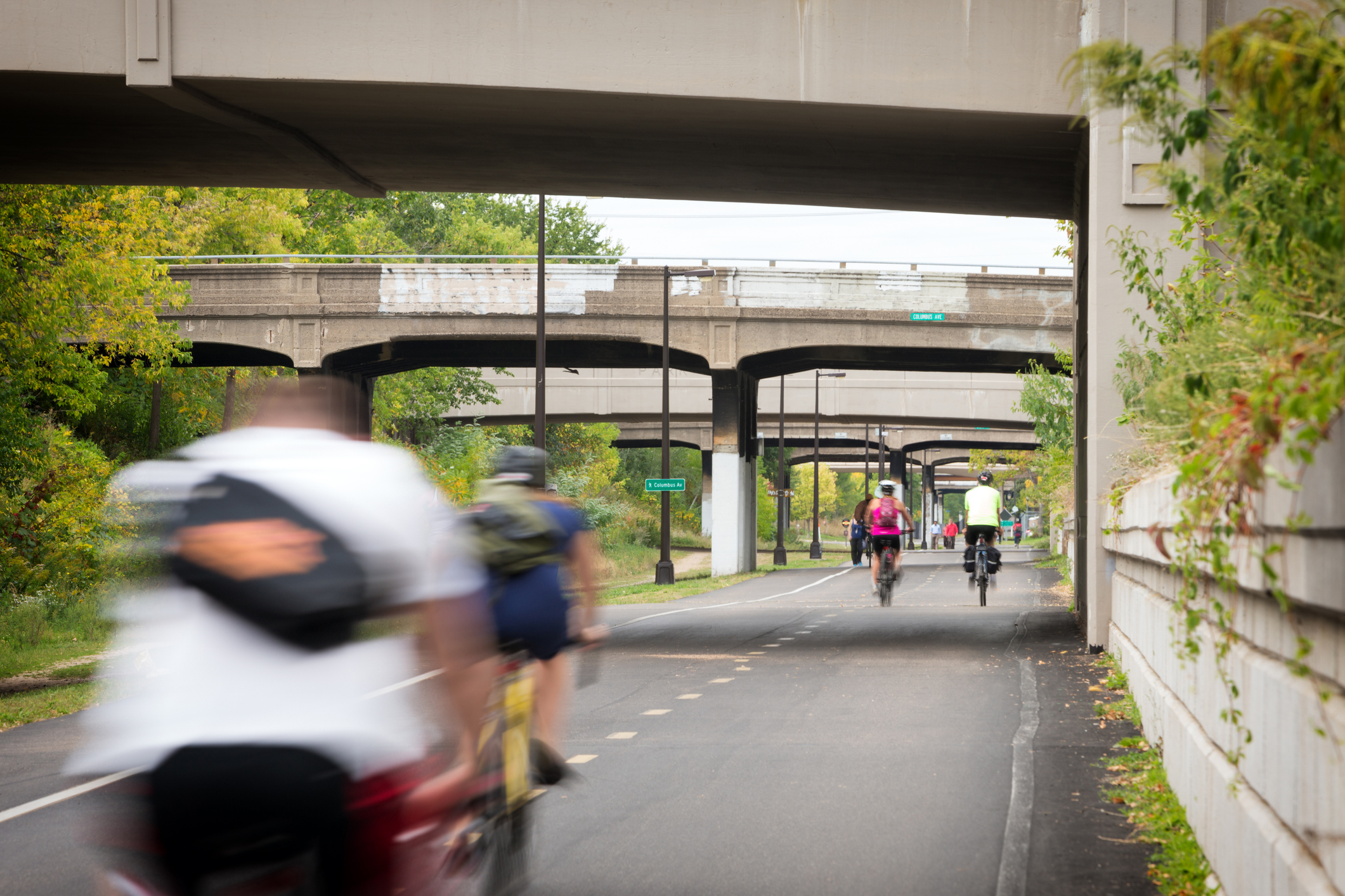
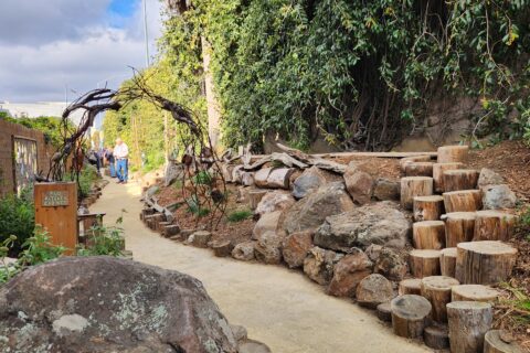
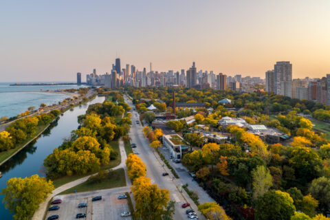
Municipalities around the country continue to explore the “y” urban planning concept of designing cities for enhanced accessibility, walkability, and mobility. Recently, Columbus, OH, Salt Lake City, UT, and Portland, OR announced new projects that link their core economic downtowns with adjacent neighborhoods through multimodal trails. The cities of Indianapolis, IN, and Atlanta, GA, have implemented similar kinds of infrastructure connections, resulting in an average return on investment of $27 dollars for every one dollar invested.
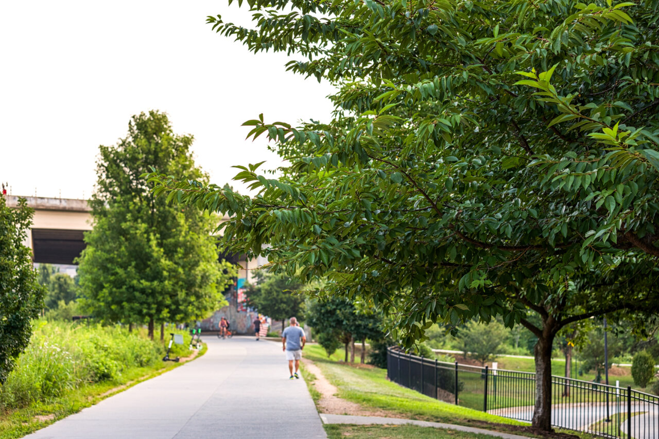
The Atlanta Beltline (shown above), perhaps the most identifiable project of its kind, exemplifies this approach.
The Beltline is a 22-mile bicycle and pedestrian pathway that connects numerous neighborhoods across Atlanta that were previously challenging for pedestrians and bicyclists to access. The Beltline connects Atlanta residents to greenspace, economic activity and transit.
It has been an important driver of economic development, and as the project has grown, city leaders have pushed to make Beltline features and benefits more equitable. Equity elements include a new commitment to building affordable housing near the Beltline, and the creation of the Legacy Resident Retention Program, which helps Atlanta homeowners in Beltline areas pay for rising property taxes due to Beltline-driven economic development. The Beltline is a complex, 25-year project that utilizes numerous funding sources. Other communities have implemented their own versions on a smaller scale.
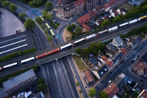
Federal grant programs that fund active transportation projects have enabled many municipalities to advance “15-minute city” goals using a similar strategy. Fairfield, AL, with a population of approximately 10,000, won a Rebuilding American Infrastructure with Sustainability & Equity (RAISE) grant to construct 3.8 miles of bicycle facilities and three mobility hubs along a key corridor that connects several amenities, such as Western Hills Mall, Miles College, an elementary school, and two parks. Pocatello, a city in Idaho (population approximately 57,730) won a Reconnecting Communities and Neighborhood (RCN) grant to connect three core neighborhoods previously divided by a railroad. The new design layout aims to create a more complete and safer transit corridor, and will include a buffered bicycle lane, repaired sidewalks, and green infrastructure to help with stormwater drainage. Redesigning this corridor will connect three neighborhoods with grocery stores, Idaho State University, parks and the historic downtown.
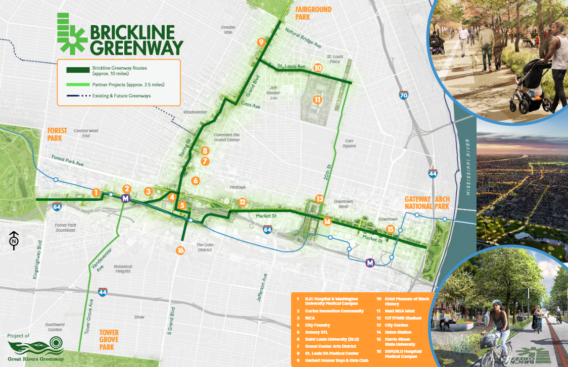
How to do this in your community?
NLC’s blog, “Exploring the 15-Minute City Concept and Its Potential for Communities of All Sizes,” covers the 10 first steps for your municipality to start the journey on becoming a 15-minute city. Building a multimodal trail that connects neighborhoods and amenities is one way to approach a 15-minute city strategy. For cities, towns and villages looking to connect their jurisdiction in this way, here are a few ways to get started.
One early step a municipality can take is gathering data to help identify and assess walkability conditions. To gather the data they need, Kirkland, WA has created a 10-minute neighborhood analysis to identify the walkability to assets within about a half mile. The city then uses this data for planning and zoning, transportation investments and park planning. Local leaders looking to get started can check out this travel time app and see the radius of where they can travel within a certain time and mode of mobility or the Walkscore tool to see a walk and bike score for a community.
Geographically smaller municipalities might consider building throughfare paths or a ring path around the community. This could look like branching out from a main downtown corridor north, south, east and west. While throughfare paths may not connect every neighborhood, they could have a big impact in smaller communities and can serve as an important first phase which can be expanded as priorities are identified and resources become available.
Municipalities may find it useful to adopt a policy that encourages or requires new neighborhood developments to include pathways that loop around the development. This policy might be informal, such as within a planning department, or an official requirement of public works departments. Local governments could also re-zone or focus “15-minute city” investments along pedestrian friendly corridors that already exist and have established amenities. Utilizing a layered and phased approach allows more small-scale changes and provides residents the opportunity to experience incremental benefits of 15-minute city planning.
Building a multimodal path connecting your city, town or village has many advantages that make it compelling for municipalities that are looking to prioritize the principles of 15-minute cities. These projects can make your community more accessible and interconnected, while also creating new public spaces. To align with a municipality’s priorities, these projects can be designed to prioritize green space and biodiversity, encourage economic development and center equity. Cities of many sizes can examine how one of these projects can best serve its goals.
