Authored byStephen Bourne, Project Director at AtkinsRéalis and Adam Howell, Senior Director of Strategic Initiatives at AtkinsRéalis
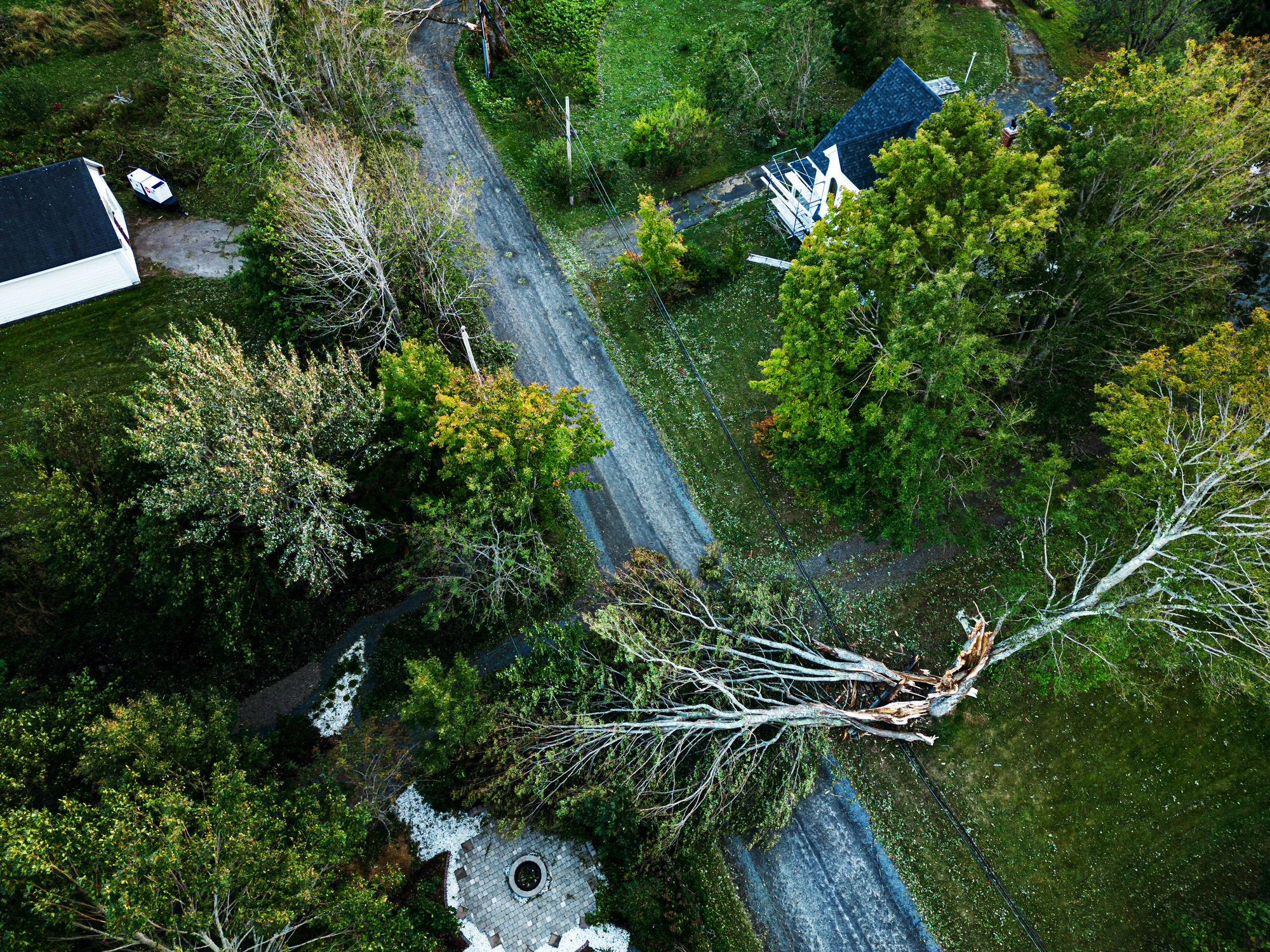
Large weather events such as tornadoes, hurricanes and wildfires have always kept cities’ leaders up at night. As the effects of climate change continue to impact communities across the country, local leaders are seeing how extreme weather events influence the overall health and wellness of a city’s residents, as well as the long-term efficacy of its infrastructure and economy.
As cities make investments in their infrastructure, spurred by funding from the Bipartisan Infrastructure Law, which centers climate resilience throughout every program, having a better understanding of local infrastructure baseline performance and comparing it against climate forecasts using scenario modeling is a key means of achieving community resilience.
Tools such as City Simulator can help cities with future scenario planning — illustrating natural and man-made threats and revealing how the interdependent systems synonymous with city life are impacted. These systems include physical infrastructure, utilities and even social networks. If damage to one of these areas occurs, issues can quickly cascade into others in unexpected ways.
Here are some examples of how climate data from the City Simulator has informed decision-making in communities:
Impact of rising temperatures on people’s mode choices
The Atlanta Regional Commission (ARC) helps 75 cities and 11 counties within the region plan for effective investments and programs needed to improve the quality of life for all residents. As part of a recent resiliency study through the ARC, an assessment was conducted to project how modes of transportation will be used differently when local temperatures rise and quantify the resulting impact on travel-related carbon footprint.
A digital twin of a portion of Atlanta was built to simulate avatars, making the choice of walking, taking public transit or using a single occupancy vehicle (SOV) each workday. The analysis told a powerful story. As ambient temperatures increased for transit users as they walked to transit and waited for high-occupant vehicles like buses and trains, the study predicted that residents will become more motivated to switch to an SOV. Past studies on such mode-switch during times of low transit availability — such as the COVID pandemic — have shown high resistance to making the switch1. But, any switch to an SOV is undesirable, as the effects of this are staggering — increasing demand on the existing roadway network, reduced reliance on transit and bicycle/pedestrian networks, greater air pollution and less money in people’s pockets — and the result is a positive feedback loop, where the more residents make this decision, the worse the heat exposure problem will get2,3.
The ARC is presently collaborating with its member jurisdictions to build collective resilience against the impacts of rising temperatures on the transportation network. Using a similar digital twin approach, it is expected to understand how to prioritize investment to maintain current mode split, reduce flood disruption and keep the city productive.
Prioritizing infrastructure investment, creating a resilient network for the future
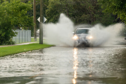
Localized flash flooding is a common occurrence throughout the Front Range of Colorado, which is home to many cities and towns, including Boulder. Prompted by a 2013 rainstorm bringing nearly twice the recorded 24-hour rain in its 100-year plus record, the Boulder County Department of Transportation (DOT) commissioned a study that sought to understand floodplain management with respect to transportation infrastructure. The goal was to understand the potential adverse impacts on this infrastructure in the future as severe weather strikes with even greater intensity, as well as the resulting impacts this may have. This was done by developing a common platform that incorporated buildings, roads, and flood models. The result was a detailed picture of how Boulder County residents will be impacted by future floods, where the flood hot spots were, what challenges to citizen safety will arise, what the loss in productivity will be and where the opportunities are for improvement.
The Boulder County DOT leveraged the results of their study to successfully apply to the Federal Emergency Management Agency (FEMA) for funding to redesign and construct the projected top-disrupting bridges and culverts. The county-wide resilience plan is using the funds to create a more resilient transportation network, able to withstand impacts from severe flooding.
Local leaders can learn from these examples and use City Simulator to make data-informed decisions to strengthen their infrastructure in the face of extreme weather events.
This information is presented by AtkinsRéalis, along with a showcase of their digital tool, City Simulator. AtkinsRéalis is an Executive Partner of the National League of Cities.
1 Palm, M., Allen, J., Zhang, Y. et al. Facing the future of transit ridership: shifting attitudes towards public transit and auto ownership among transit riders during COVID-19. Transportation 51, 645–671 (2024). https://doi.org/10.1007/s11116-022-10344-2
2 Hodges, T. Public Transportation’s Role in Responding to Climate Change. Office of Budget and Policy, FTA, U.S. DOT. Public Transportation’s Role in Reducing Greenhouse Gas Emissions (January 2010) (dot.gov)
3 Hu Y, Barbour W, Qian K, Claudel C, Samaranayake S, et al. (2023) Estimating road traffic impacts of commute mode shifts. PLOS ONE 18(1): e0279738. https://doi.org/10.1371/journal.pone.0279738


