“Improving access to public transit can help build more equitable communities by opening new doors for residents and changing people’s lives.”
-NLC CEO and Executive Director Clarence Anthony
What is the Civic Mapping Initiative?
The Civic Mapping Initiative (CMI) supports local governments and regional authorities in improving access to critical civic infrastructure and resources. The National League of Cities (NLC) acquired the Civic Mapping Initiative from the Seldin/Haring-Smith Foundation, and we are pleased to grow and build upon its initial work identifying low-cost opportunities for high-value improvements to public transit networks. NLC is building and improving stand-alone CMI resources while also using new tools to enhance existing research and technical assistance efforts.
Putting transit at the center of planning can improve accessibility, quality of life, safety, and economic returns on development investments (for governments and private companies alike).
Transit-oriented development (TOD) is an approach to planning and building that seeks to make the most out of space within walking distance of public transportation. Good transit can support density and maximize the residential, commercial, and recreational uses in a walkable and accessible area. It has a variety of benefits including reduced traffic, improved land values (and tax receipts), greater economic activity, and lower energy consumption and pollution. Some specific tools for TOD include mixed-use zoning, relaxing building height restrictions, partnering with real estate developers early and reducing parking minimums (which won’t be as necessary with more people walking and taking transit).
Resources to Support Better Transit Policy
Thousands of important resources could be made accessible with small changes to routes and stop locations. These maps are designed to help identify those key opportunities. Click below to explore the maps for Head Start and Community & Technical Colleges.
Best Practices to Support Better Transit Policy
For the last few years, the needs of American transit riders, and would-be transit riders, have been changing faster than ever. City leaders, planners, and transit agencies have been hard at work developing creative ways to make transportation networks work for a wide variety of needs. From diligent efforts to solicit feedback from community members (including non-transit riders who might become riders) to leveraging new technologies to optimize and enable dynamically routed demand-response services, cities have embraced their role as laboratories for developing a better future.
The Civic Mapping Initiative supports cities in these efforts, offering data and expertise to identify low-cost opportunities for improvement. Below, we highlight some of these promising practices implemented by municipalities.
- Identify the kinds of resources your residents need to be able to access via transit. We started by mapping community colleges and Head Start centers, which are often not included in transit planning priorities, but other important resources may include healthcare facilities, libraries, benefit enrollment centers, polling places, and more. When making your list, cast a wide net and talk to all kinds of people (including non-riders and, for towns with a decent tourism industry, even non-residents).
- Make sure stakeholders and transit agencies can easily reach out to one another. Keep open lines of communication around needs and potential changes to routes and schedules. Community college leaders often say, “our students are one flat tire away from dropping out,” while transportation is consistently identified as one of the biggest barriers (if not the single biggest obstacle) to enrolling and staying in a Head Start program. We’ve even heard of students having their academic plans derailed by mid-semester changes to a bus schedule.
- Identify multiple methods for improving accessibility. CMI maps are a good way to make sure the transit network serves some important locations, and well-located stops are a necessary first step to accessibility. Other steps:
- Make sure schedules work for the people who need that access.
- Ensure affordability for low-income riders.
- Include transit planning early and often. The biggest obstacles and challenges tend to occur when transit is seen as a last step, something that gets layered on top of an existing town’s configuration. By then, it’s often too late or too expensive to accomplish many leaders’ goals for high-quality transit services. Approaches like transit-oriented development can be transformational, and communities can reap many benefits even without such a specific focus simply by planning for growth and transportation needs as early in the process as possible.
A bus line could detour to a nearby Head Start center in the morning and early evening, for example, while otherwise not deviating from a main road; then at night, that same bus line might extend to a technical college offering night classes that would otherwise be inaccessible. On affordability, many transit agencies partner with local colleges to offer students discounted or free rides (student IDs becoming transit passes is the gold standard way to implement this).
City Spotlights
- Memphis, TN: MATA (the Memphis Area Transit Authority) has been at the forefront of the national movement to improve transit access to Head Start. They worked with the National Head Start Association and CMI to identify three Head Start centers that had a bus stop nearby but just far enough away that it presented an obstacle for Head Start families. Not only did they relocate those bus stops – cutting out distance as well as busy streets and roads without sidewalks from many toddlers’ daily commutes – MATA decorated a city bus with art from local Head Start students to publicly declare their commitment to Head Start families.
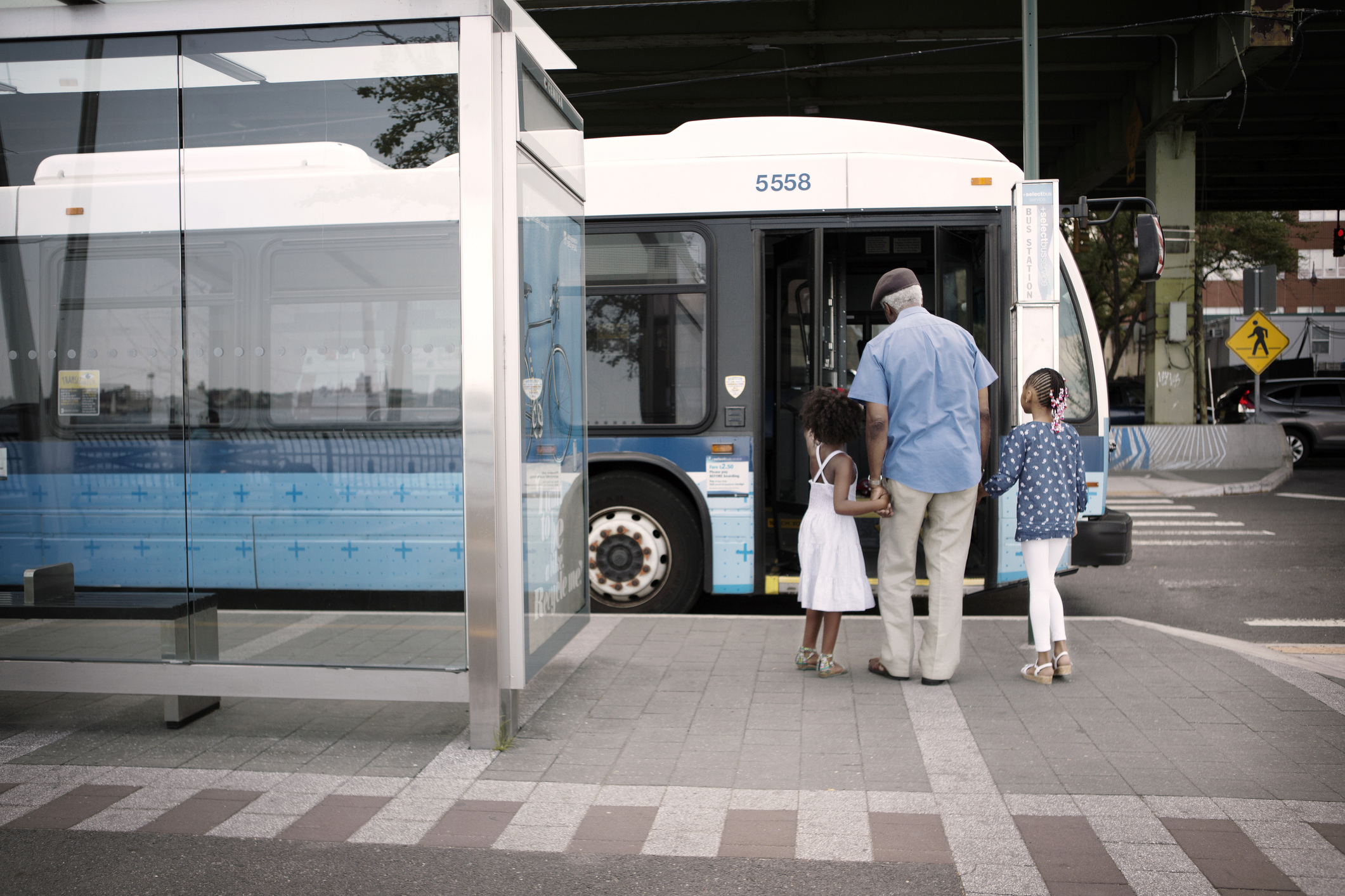
- Alexandria, VA: When most people think of public transit in Alexandria, VA, they think of WMATA’s blue and yellow lines, i.e., rail transit into nearby Washington, DC. But even more locally, the Alexandria Transit Company’s cleverly named DASH bus system (Driving Alexandria Safely Home) provides service for those living, working, and needing childcare within the city. After seeing CMI’s finding that almost two-thirds of Virginia Head Start centers were more than a toddler’s walking distance away from the nearest transit stop, leaders in Alexandria began thinking more deeply about the pedestrian experiences of transit’s smallest riders. The city relocated and improved two DASH stops to provide Head Start children (and those walking with, pushing or carrying them) a shorter, safer walk to and from the bus.
- St. Petersburg College, in Florida has worked with its local transit agency, the Pinellas Suncoast Transit Authority, to implement several best practices in making community college accessible to students. Students can ride the bus for free using their student ID cards; the college coordinates with the transit agency so they can make sure bus and class schedules line up in ways that work for students; and by staying in touch, they can make sure there are no disruptive mid-semester changes.
- Cleveland, OH: Multiple local colleges and universities have partnered with the Greater Cleveland Regional Transit Authority to provide a “U-Pass” for students, and similar programs are happening across the country (e.g., Los Angeles, Washington, D.C., et al.). Recognizing that nearly 20 percent of the cost of college for the average community college student is transportation, the transit authority is working with its local colleges and universities to provide this service to improve college completion. This program was launched based on the ASAP model in New York City which provided free transit passes to all City University of New York students participating in the ASAP program. New York City also provides free transit passes to all K-12 students.
NLC also maintains www.civicmaps.org as an archival site that includes state-level maps and other projects.
Learn More
Want to learn more about NLC’s work building these types of civic infrastructure maps? Or have suggestions for our work, let us know.
